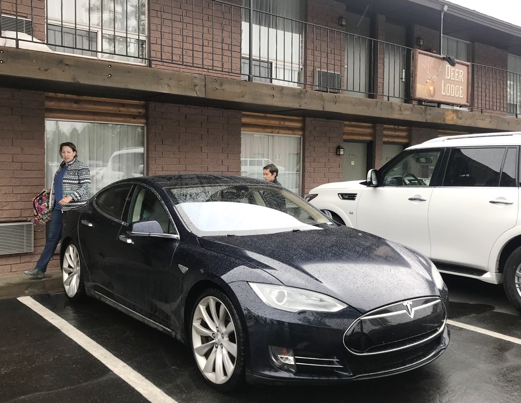
| Ruby's Inn
|
|

Our stay overnight was pleasant, and
we went right to breakfast
to see if we can get an early start into Bryce Canyon National Park.
|
|
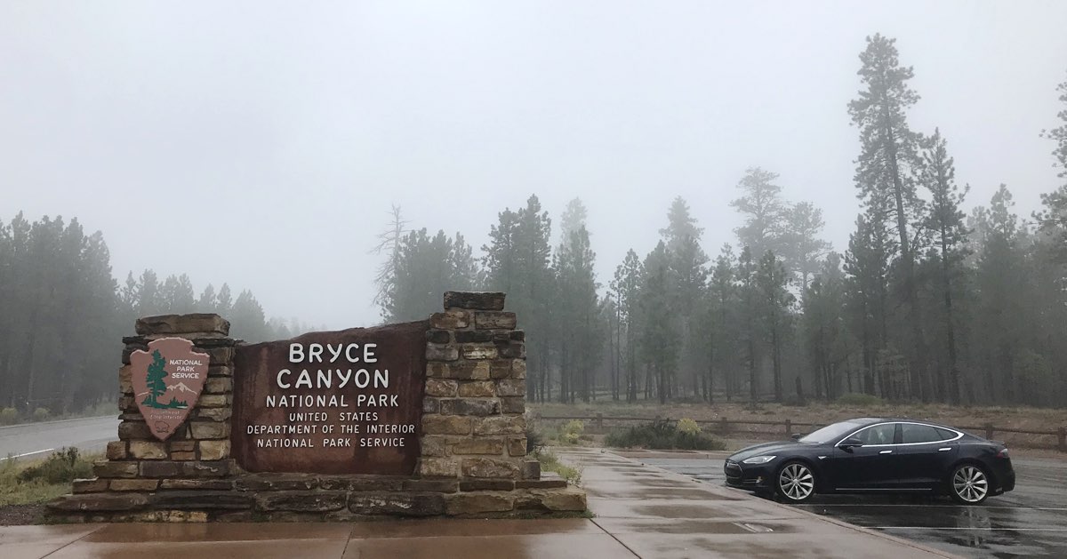
| Bryce Canyon National Park
|
|
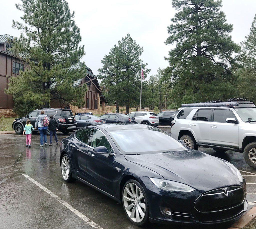
Because the children already earned Junior Ranger badges
two years ago,
we stopped by the Visitors Center only for the maps and a refresher with the exhibits.
|
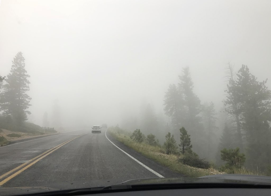
The storm system that hit yesterday lingered today as patching clouds.
At 7894 to 9114 feet, our drive would take us right into these clouds.
|
|
| Rainbow Point
|
|
Our visit to Bryce last year was too brief to visit all the way up to Rainbow Point.
This time I made of point of making that our first vista to see today.
| Time | Event | Range Remaining |
|---|
| 9:30 am | Departed Ruby's Inn | 239 |
| 10:51 am | Arrived Rainbow Point | 204 |
Range/Distance ratio: 1.84
Conditions: Foggy, Uphill to 9115 feet, 48°F
|
|
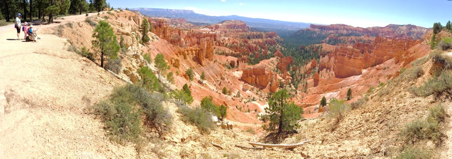
Despite being the same month of the year, it was hot when
we visited two years ago.
This time it was cold.
What a difference!
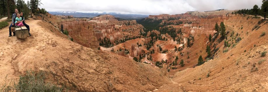
Although the overcast skies muted the amazing colors of Bryce, the clouds
did add shape to the sky to still make for some interesting pictures.
|
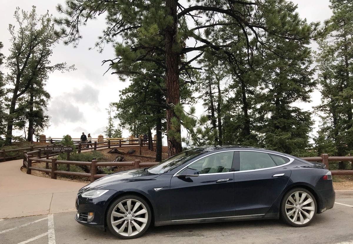
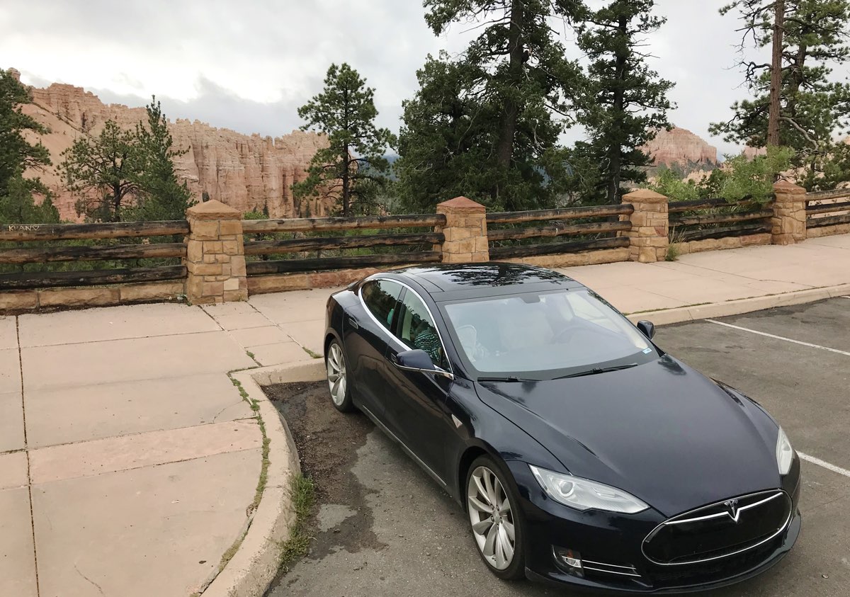
| Black Birch Canyon
|
|
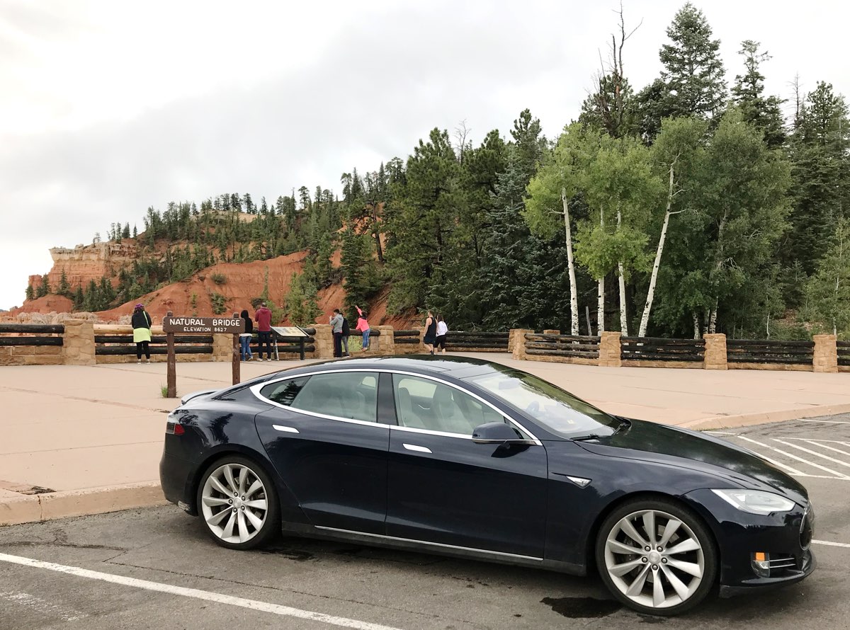
After a pleasant hike around the various vistas around Rainbow Point, we drive north
to visit just about every major viewpoint along this drive by the Canyon rim.
We took the opportunity to snap pictures, if it wasn't raining too much.
|
|
|
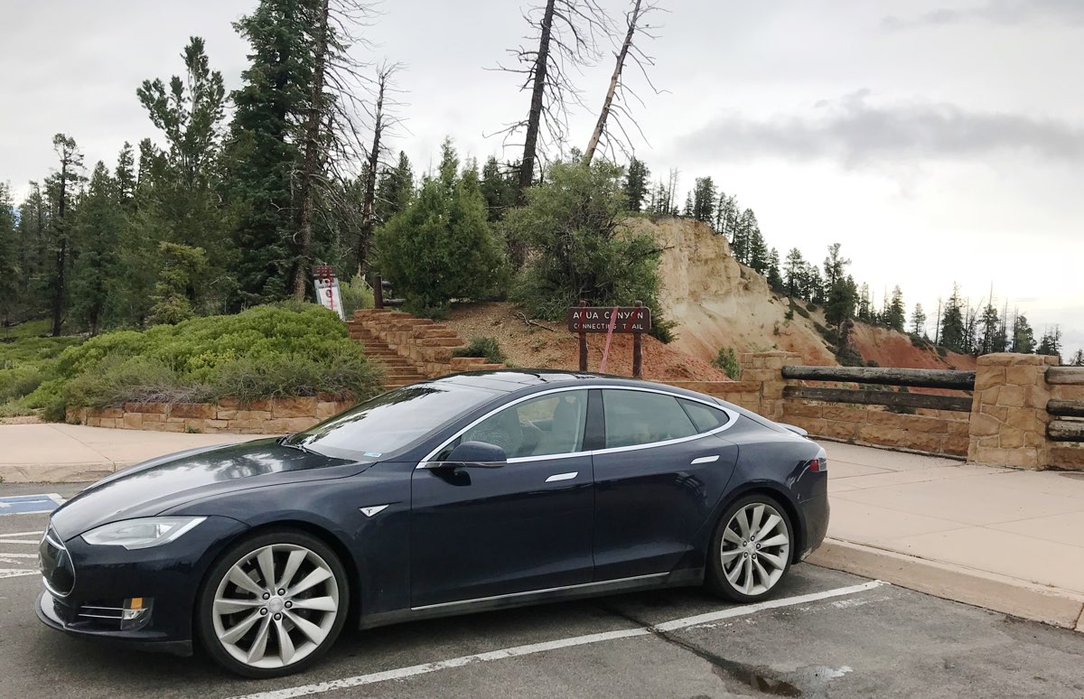
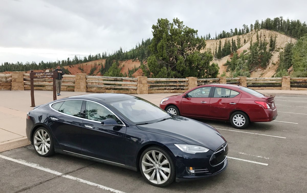
| Agua Canyon
|
|
Our next viewpoint was Agua Canyon, whose
trailhead wasn't actually open today.
From here we can see the distinct hoodoos called
"The Hunter" and "Backpacker".
|
|
|
| Natural Bridge
|
|
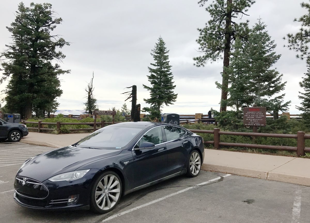
| Farview Point
|
|
Farview point
provides a vista that can see clear out to the Grand Escalante
and the Kaibab Plateau leading to the north rim of the Grand Canyon.
|
|
|
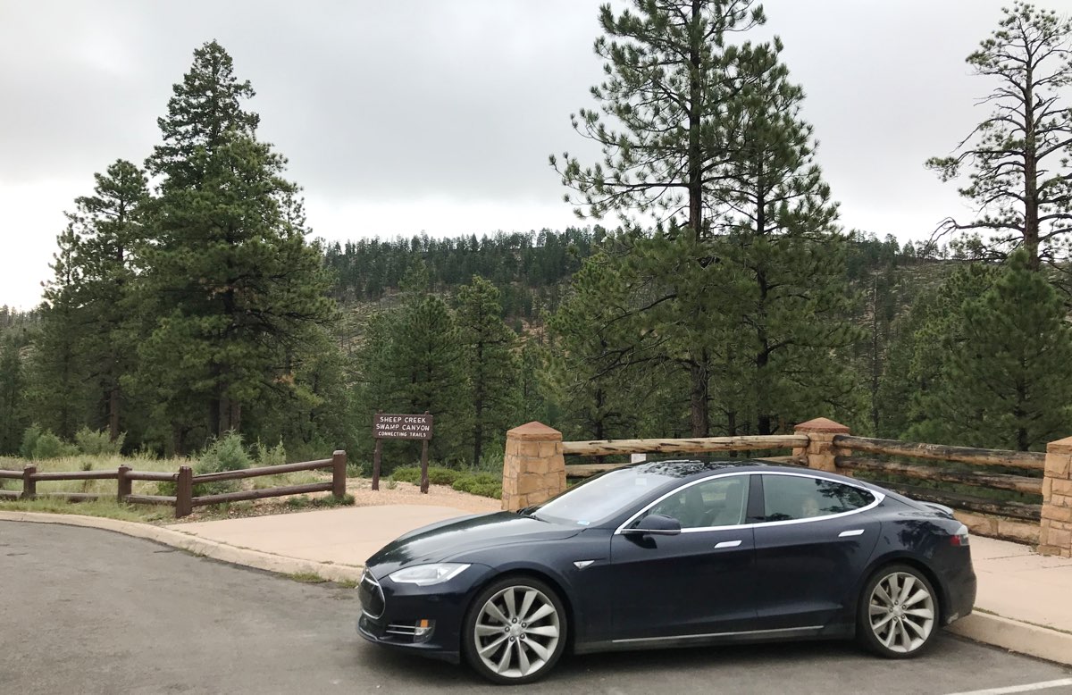
| Swamp Canyon
|
|
|
This viewpoint also is a trailhead down into a part of Bryce called Swamp Canyon,
which also hosts a few campgrounds.
|
|
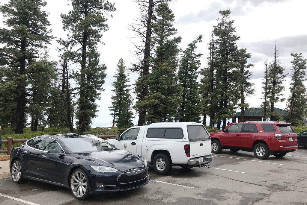
| Leaving Bryce
|
Compare to Two Years Earlier:
|
After parking at Sunset Point, we returned to Bryce Lodge for lunch.
| Time | Event | Range Remaining |
|---|
| 12:51 pm | Arrive Sunset Point | 194 |
Range/Distance ratio: 0.588
Conditions: Downhill, rain and clouds, cold
With one last time to shop at a National Park and a short hike along the Canyon rim
to take pictures (above) in front of the Bryce Amphitheater
(compare with two years ago),
we returned to the car to depart Bryce.
|
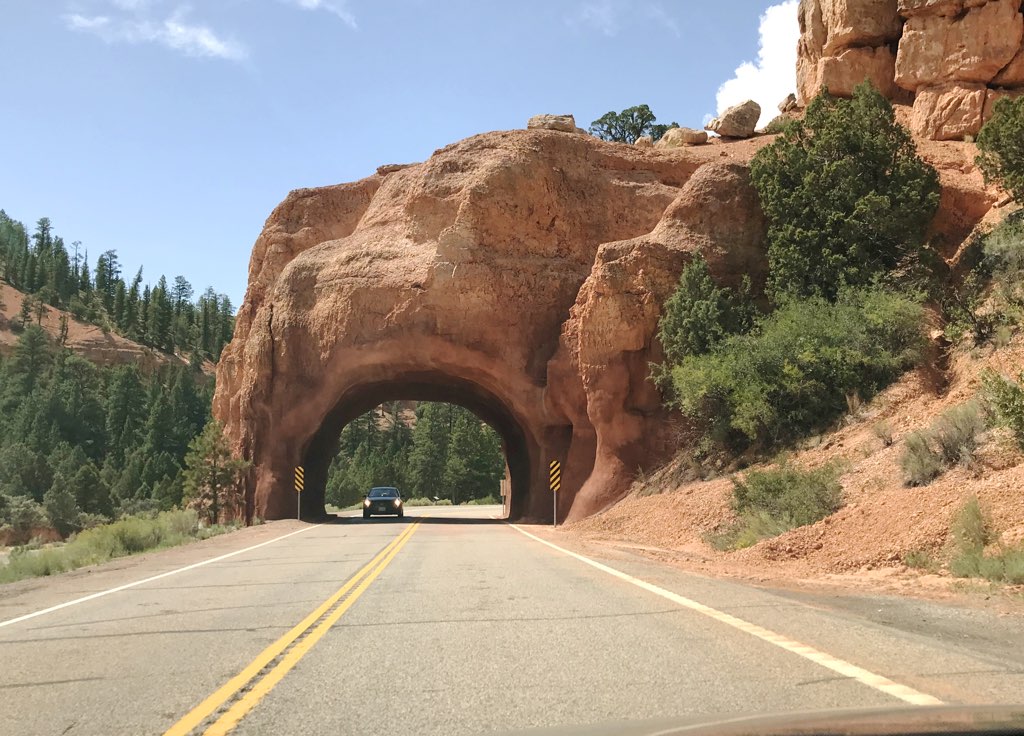
Off we went, west on highway 12, to
pass by
familiar sights like Red Canyon
and the Golden Wall.
|
We then took a different route to I-15, passing through Panguitch and heading north on highway 89
to follow the
Old Spanish Trail.
It was yet another historic route like we did
a few days ago in Nebraska, but this one enabled a trade route to California.

|
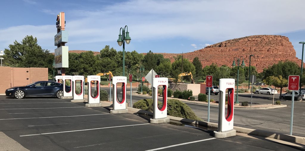
| St George Supercharger
|
| Time | Event | Range Remaining |
|---|
| 2:41 pm | Departed Sunset Point, Bryce | 195 |
| 5:09 pm | Arrive St George Supercharger | 70 |
Range/Distance ratio: 0.839
Conditions: Mountain highways, then Interstate, 90°F
|
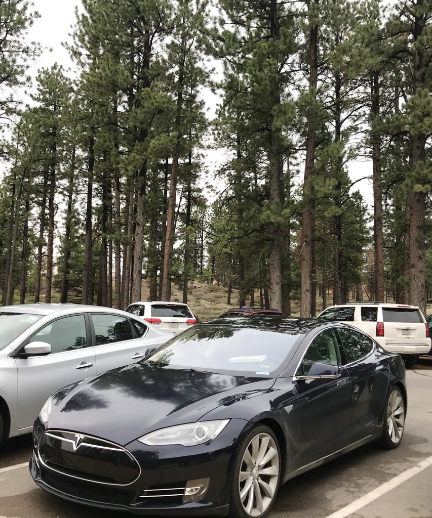
It was a simple scenic drive to the Supercharger, where we found no other Tesla's.
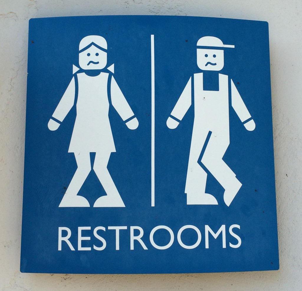
We took a restroom and drink break at the nearby Starbucks as we decided
whether we want to eat here for dinner.
|
|
Cost to Charge: $0
|
|
We were cold in Bryce this morning, and
now the climate was quite different now that we entered the desert.
We decided not to have dinner and go to the hotel next.
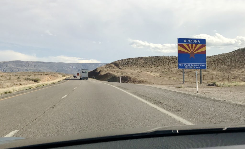
Our route on I-15 would then take us through Arizona,
but only a corner of the state.
After our experience seeing so much geology,
we recognized the uplifted sedimentary rock surrounding I-15 here
was much like we saw on the eastern edge of the Rockies.
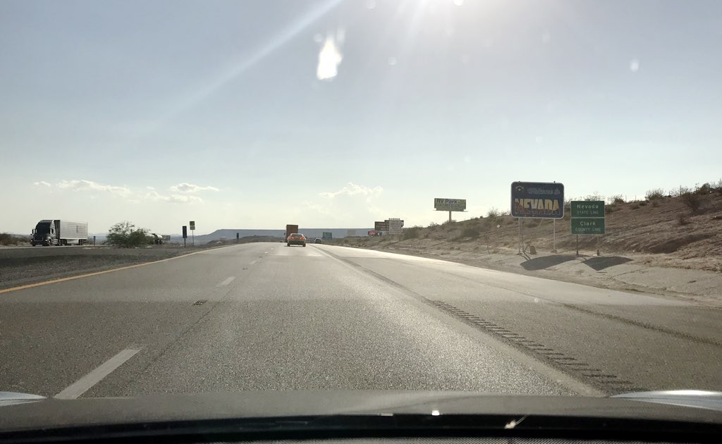
Only now it was plainly obvious, we left the mountainous passageways,
we were exiting the Colorado Plateau
as
we entered Nevada, presenting us with open flat desert.
The distinction was obvious now that we know more about what we're seeing.
|
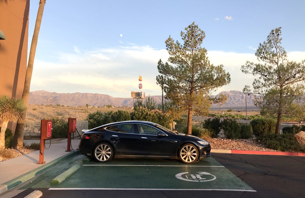
| Eureka Mesquite, Nevada
|
| Time | Event | Range Remaining |
|---|
| 5:29 pm MDT | Departed St George | 138 |
| 5:10 pm PDT | Arrived Eureka Mesquite | 101 |
Range/Distance ratio: 0.90
Conditions: Mostly downhill, fast interstate, 96°F
And this flat desert was getting hot.
We arrived in Mesquite, just this side of the State border,
to check into the
Eureka,
which is the closest member of the Tesla Destination Network west of St. George.
My intention was to spend as little as possible of the penultimate day of our road trip in the desert.
Cost to Charge: $0
|
|
We had a pleasant dinner at
Peggy Sue's,
then returned to the room for some time in the pool and showering before going to bed.
|
Dean E. Dauger holds a Ph. D. in physics from UCLA, where his group
created the first Mac cluster in 1998. Dr. Dauger is the award-winning
author in multiple American Institute of Physics' Software Contests and
co-authored the original, award-winning Kai's Power Tools
image-processing package for Adobe Photoshop.
After founding his company,
Dauger Research, Inc., its debut product,
Pooch, derived from Dr. Dauger's experience using clusters for his
physics research, was soon awarded as "most innovative" by IEEE Cluster
and continues to revolutionize parallel computing and clusters worldwide
with its patented technology.
|