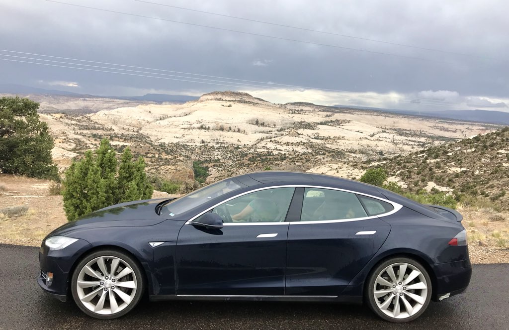
| Capitol Reef
|
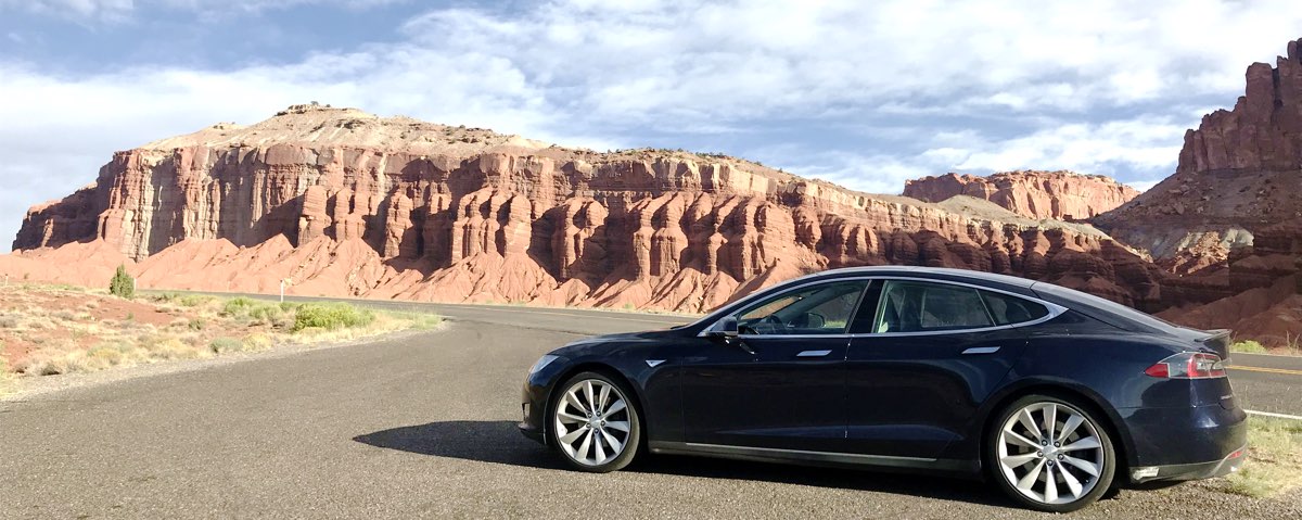
Broken Spur Inn was easily the closest member of the Tesla Destination Network to Capitol Reef,
so it was the obvious choice to stay here so that we would have the chance to have a little time in the morning to
explore this Park.
After we had breakfast and packed up, we returned to explore the west side of Capitol Reef.
|
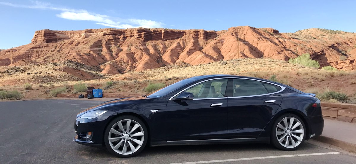
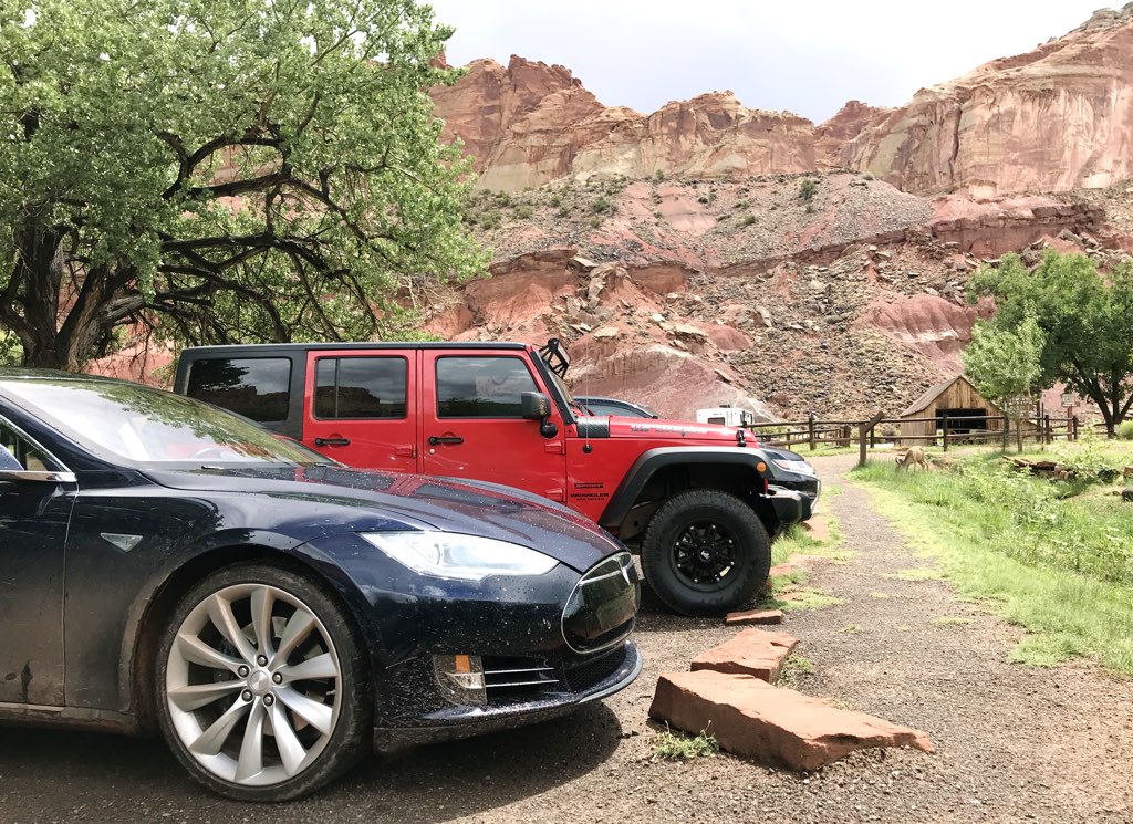
| Capitol Reef Visitors Center
|

|
We immediately picked up Junior Ranger books for the children at the Visitors Center
and found an excellent Ranger talk about the geology of the area.
We learned
how the area was once awash with water and life to form the varied types of sedimentary layers,
but then uplift raised and folded the land,
followed by erosion to explose the variety of layers we see today.
Once we absorbed what we could at the Visitors Center,
we headed south onto the Scenic Drive inside the Park,
but we also were told of possible flash floods later today.
More storms!
|
|
|
| Scenic Drive
|

|
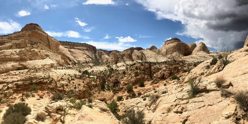
We took the fork south to the rolling Scenic Drive through Capitol Reef
where we could see a wide variety of structures, but
we really wanted to get to Capitol Gorge in time before the rain.
We didn't visit Grand Wash because, well, we didn't want to visit a Wash in the rain.

|
|
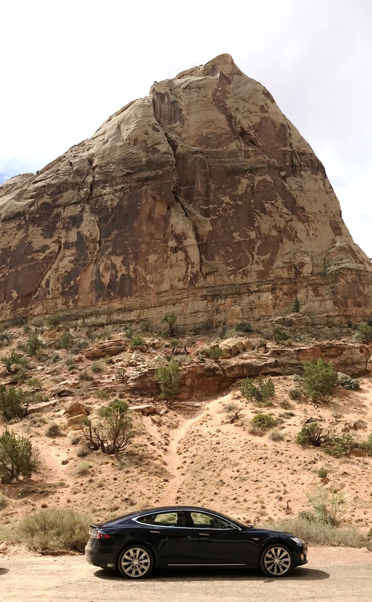
| Capitol Gorge
|
|
While the Scenic Drive is paved, the last part to the Capitol Gorge trailhead is dirt
but is made up for by the deep canyon walls on either side.
The region is clearly carved by large flows of water, hence the name "Gorge".
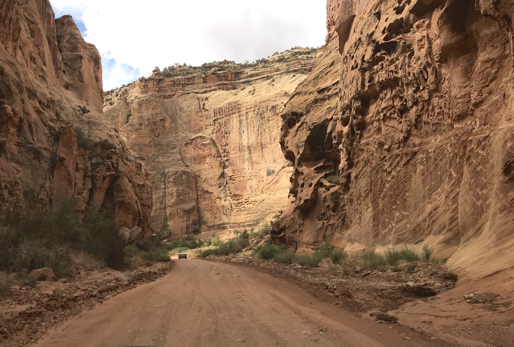
The hike into the Gorge was amazing too, seeing the rock up close,
both for its color and the variety of carvings by water.
In one area we saw petroglyphs.
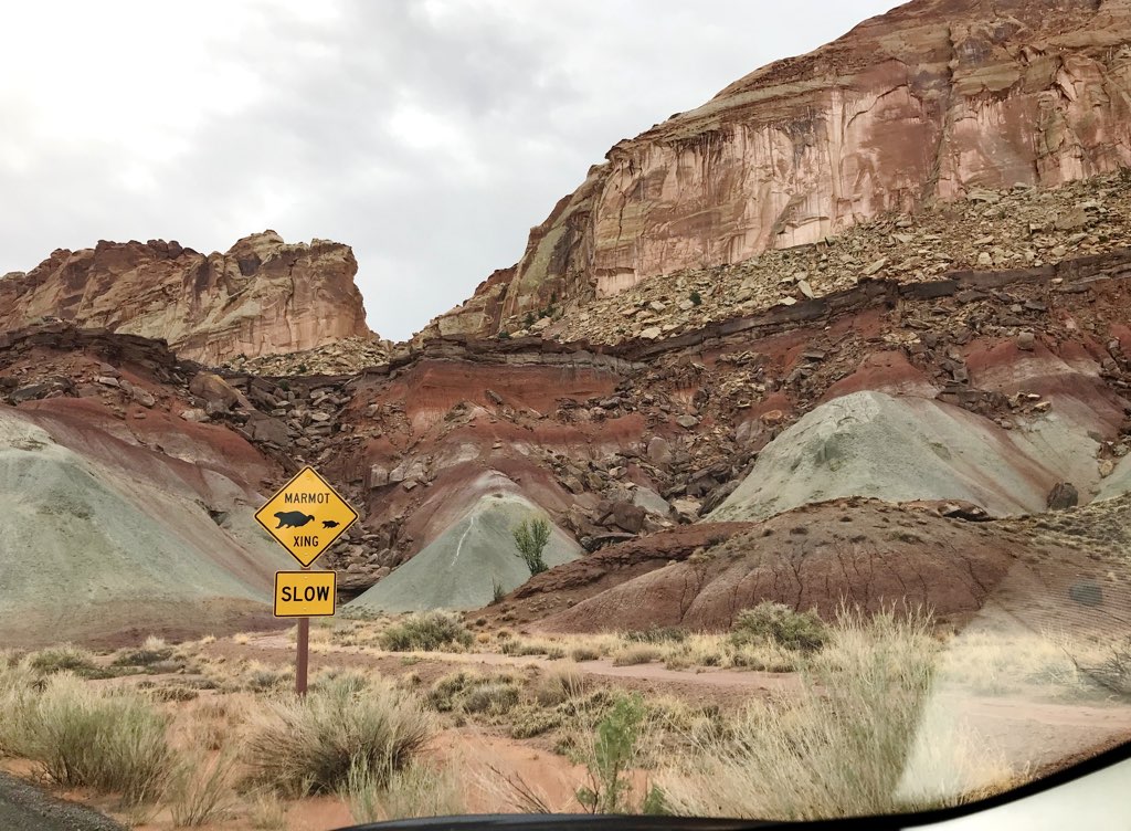
It wasn't long before we could hear thunder increasing in frequency and loudness.
By the time we were at the opposite end of the Gorge we could see lightning and
the approach of dark clouds.
We were aware of the possibility of flash floods, and the first drops of rain made us turn around.
By the time we got back to the car, the rain increased,
so the family was glad to complete our hike through the Gorge.
|
Trailhead Parking for Capitol Gorge
|
After a mile of hiking into Capitol Gorge, a storm moves in
|
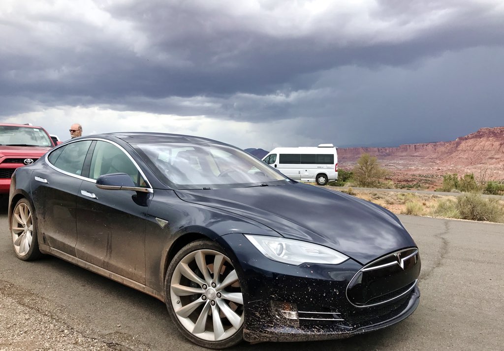
| Rainy Return on Scenic Drive
|
|
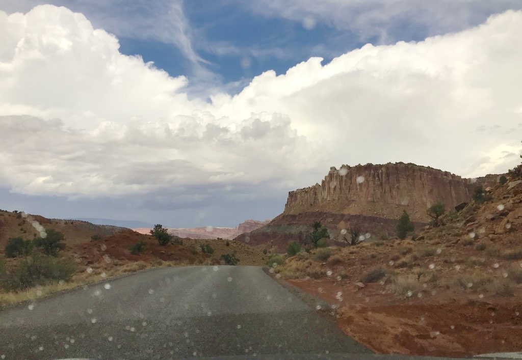
I thought it was all part of a great adventure. As we returned on the Scenic Drive, we
took a few more stops as the rain increased.
We all looked forward at the scenery and rock formations, and
that made it convenient to the lightning in the storm coming straight for us too.
Except for getting the car all dirty again, no problem.
|
|
At Gifford House we took a stop because a few deer were grazing on the grass there in a brief refuge from the rain.
We soon returned to the Visitors Center so the children can earn their Junior Ranger badges.
|
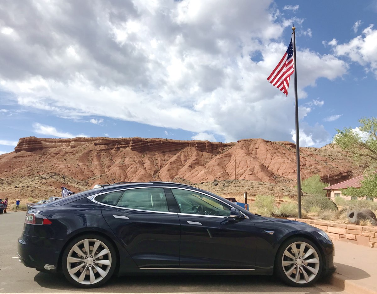
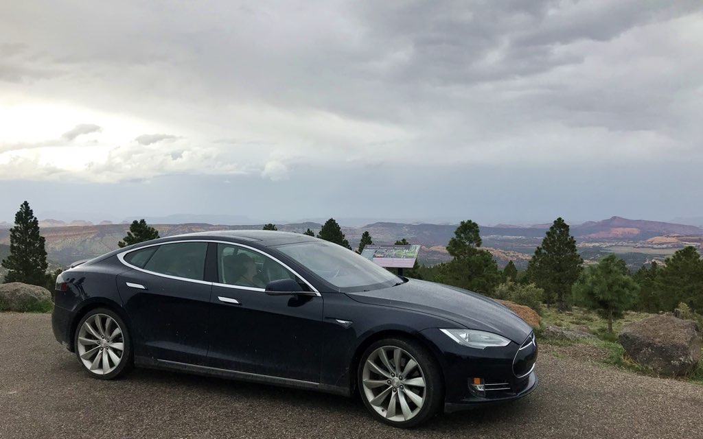
| Panorama Point
|
|
One more stop I wanted in Capitol Reef was Panorama Point on the way to the west entrance.

|
From here we enjoyed a beautiful vista to see miles of this part of the park, only
at this moment we're surrounded by thunderstorms frequently flashing with lightning.
I think it's great. The rest of the family just want to get going.
|
|
| Scenic Byway 12 and Grand Escalante
|
|
We returned to Torrey for lunch, then drove south on Scenic Byway 12 towards
Grand Escalante.
I read this was the most beautiful drive in Utah, and
we didn't have the time to drive it in
our road trip two years ago,
so I wanted to make sure it was on our itinerary.
Little did I know that it would rain the day we were here.
Larb Hollow Viewpoint
|

On the way we passed through Boulder Mountain where the road climbs to 9000 feet.
Seeing forest of birch trees was remarkable, especially after
we passed through the arid regions of Caineville yesterday.
The contrast was striking, surprising us with how green and lush Utah can be.
The cattle were freely roaming the area, including the road, in the rain.
|
Because of the rain, we didn't get out to hike any trails or to any viewpoints not visible from the road.
After all, the flash flood warning was still in effect,
and I had to agree tracking mud into the car leads to a troublesome clean up.
So we enjoyed the sights and took pictures as we went, as we had Highway 12 virtually all to ourselves.
|
| Hogsback
|
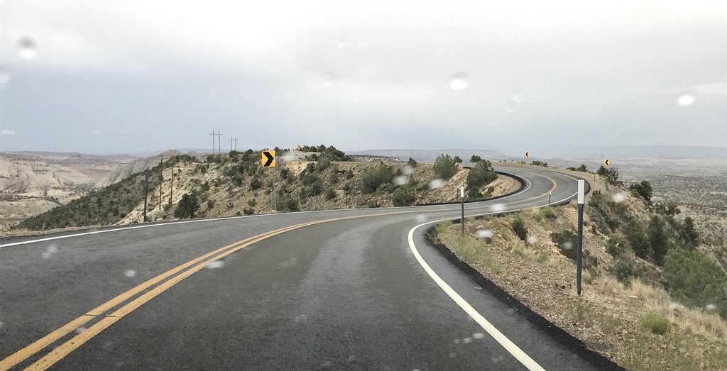
We then came upon an internationally famous stretch of byway known as
the Hogsback.
It's one thing when a side of the winding road has a steep drop off without a guardrail.
Here steep drop offs are on both sides of the road
without guardrails
and in the rain.
It's too easy to underappreciate the difficulty of building a highway on
the top of a curving slickrock ridgeline like this.
On the one hand that makes it easy see wide vistas in every direction,
but on the other hand that's why the Hogsback earns
descriptions like "astounding", "hair-raising", and "death grip on the steering wheel".
Add that it is raining.
This car, with its low center of gravity, handled it perfectly.
I loved it!
|
As we wound our way down Scenic Highway 12,
we stopped for other sights
like Escalante River Trailhead (top picture on page),
Powell Point, and Upper Valley Creek.

|
View west from the Hogsback
|
Escalante Petrified Forest and Kodachrome Basin State Park were also on my
itinerary, but the rain precluded us from
walking their muddy trails today.
|
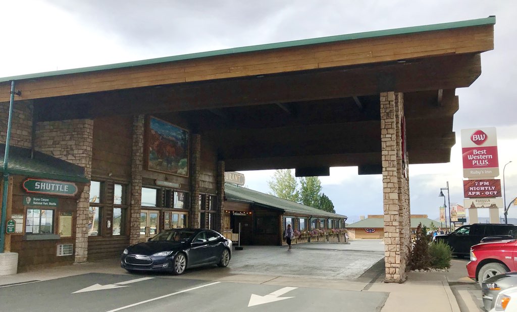
| Ruby's Inn
Bryce, Utah
|
As we continued west through Tropic,
we began to recognize the shape and color hoodoos after we passed through Tropic.
Soon we entered the east entrance of Bryce Canyon National Park,
and even the children recognized the
trailhead to Mossy Cave we visited two years ago.
Bryce was just up ahead.
|
| Time | Event | Range Remaining |
|---|
| 9:35 am | Departed Broken Spur Inn | 236 |
| 3:00 pm | Departed Torrey | 180 |
| 5:42 pm | Arrived Ruby's Inn | 42 |
Range/Distance ratio: 1.21
Conditions: Winding Roads, Thunderstorms
|
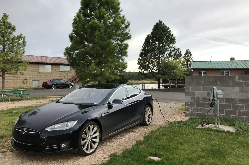
We checked in to the Ruby's Inn, which was just north of the Park.
I originally booked
Entrada Escalante, a member of the Tesla Destination Network,
but when I worked out the distances in detail we had enough time on this day to
make the overnight stay in Bryce, which gave a distinct time advantage for the next day.
Like
in Vernal, I found
this location via PlugShare because
Ruby's also runs an RV park a quarter mile south of the hotel, which of course has plenty of RV power outlets.
|
After I booked the hotel room months ago, the Inn then directed me to reserve a charging location directly with the RV park.
The disinterest of the RV Park and the Inn to work together, despite both having the name "Ruby's",
made creating these arrangements awkward with staff who seemed unfamiliar with these needs,
but in the end it all worked out.
After checking in my family and unloading our things into the hotel room, I drove on my own
that quarter mile south through the RV park to the RV park's front desk to check in and pay the $15 there separately.
That desk gave me directions north to a NEMA 14-50 spot, only one of two, that they said they specifically
installed for electric cars. The spot ended up 100 feet from our hotel room.
In short, while navigating the two separately-run bureaucracies was strange, the physical
arrangements were as good as I could possibly expect.
The convenience of jumping right into Bryce at the start of the day was completely worth it.
Cost to Charge: $15
We had dinner at Ruby's, checked out the pool, and returned to the room to shower
after such an adventurous day hiking and driving in the rain.
|
Dean E. Dauger holds a Ph. D. in physics from UCLA, where his group
created the first Mac cluster in 1998. Dr. Dauger is the award-winning
author in multiple American Institute of Physics' Software Contests and
co-authored the original, award-winning Kai's Power Tools
image-processing package for Adobe Photoshop.
After founding his company,
Dauger Research, Inc., its debut product,
Pooch, derived from Dr. Dauger's experience using clusters for his
physics research, was soon awarded as "most innovative" by IEEE Cluster
and continues to revolutionize parallel computing and clusters worldwide
with its patented technology.
|